 No. 1825, Luodong Road, Baoshan Industrial Zone , Shanghai, P.R. China
 +7 968 585 3443 / +86 15802111868/021-66861126
 lijingxin@hilonggroup.com

 No. 1825, Luodong Road, Baoshan Industrial Zone , Shanghai, P.R. China
 +7 968 585 3443 / +86 15802111868/021-66861126
 lijingxin@hilonggroup.com


 No. 1825, Luodong Road, Baoshan Industrial Zone , Shanghai, P.R. China
 +7 968 585 3443 / +86 15802111868/021-66861126
 lijingxin@hilonggroup.com
 Challenge
30% - 40% of the world's pipelines have been built before the popularization of GPS. Due to the limitations of technical conditions at that time, the pipeline construction survey records might be inaccurate or have even been lost. For most old pipelines, accurate pipeline location information cannot be provided. Moreover, due to the impact of geohazards, the pipeline direction will be affected, so it is impossible to quickly judge the defect location, which is difficult for the normal maintenance of the pipeline. Therefore, know the exact location of the pipeline is very important for the safe operation and maintenance of the pipeline.
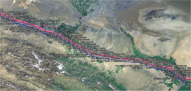
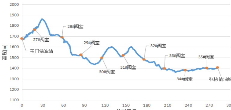
During the pipeline operation, geological changes such as soil settlement and landslide may change the original trend of the pipeline, which may be significantly different from the original elevation map pipeline after a long period of operation. Regular pipeline centerline surveying and mapping can accurately obtain the trend change of the pipeline, which plays an important reference role in the evaluation of pipeline deformation. The pipeline centerline mapping is to use the inertial measurement module to completely record the attitude change in the 6-DOF direction when the ILI tools is running, and to integrate the data to calculate the pipeline centerline trend.

 Solution
Shenglong's pipeline mapping system is equipped with optical fiber or MEMS inertial measurement unit (IMU), which can accurately provide reliable information such as pipeline features position, pipeline centerline coordinates, pipeline position change and pipeline stress with AGM. It can be flexibly installed on MFL or geometry tool, with small volume and high precision.

